Project: GPU-based track visualization of multivariate moving object data
Description
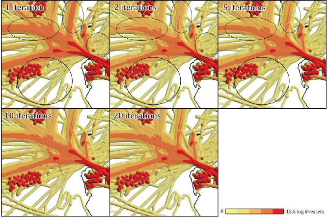
Moving object data visualization and analysis is a growing field of research. In this thesis we present a continuation of previous work where paths of moving vessels are convolved with a kernel onto a density map to aid operators of coastal surveillance systems and analysts. The density map is visualized as a shaded height field and reveals hotspots of vessel activity.
Our improvements are twofold: First, we increase the computation speed of the density map by roughly a factor 3600 using modern graphics hardware and second, we introduce several visualization methods to reveal spatial and temporal distributions as well as relations between subsets of the data that are otherwise not visible in the traditional density map.
We present a geographic information system that allows an operator to analyze data sets containing moving objects. While the main focus in this thesis is data sets of ocean faring vessels, we show that our method is applicable to other types of moving object data sets as well.
Details
- Student
-
RSRoeland Scheepens
- Supervisor
-
 Huub van de Wetering
- Link
- Thesis